Application Details
Digital hydropower plants 4D
From 01.02.2019 till 31.12.2019
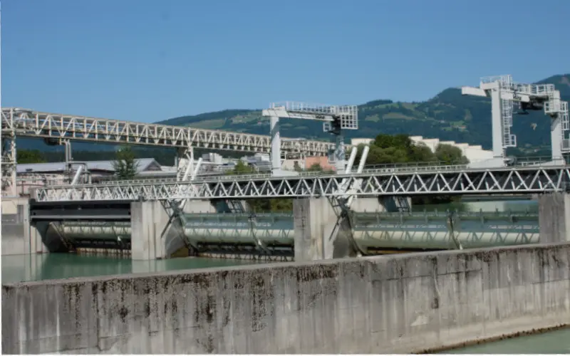
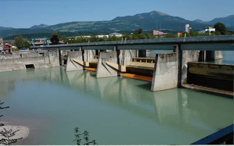
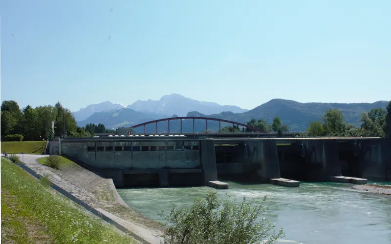
The research project DWKW 4D, carried out together with Ocean Maps GmbH., makes a significant contribution to the methods in the digital mapping of hydroelectric power plants by optimising the inventory, storage, organisation and presentation of the underwater areas. In particular, the project focuses on the representation of reservoir (lake bottom and banks), weir system or dam, plant buildings from the outside and the power plant surroundings, including fish ladders.
The focus here is on the consolidation of data from regular, strategic stocktaking (primary data acquisition) to map the plant as completely as possible by supplementing it with (secondary) data from existing data pools. In addition to the spatio-temporal mapping of the infrastructure and static information from geodata sources, sensor data are to be displayed in near-realtime. DWKW 4D can also be seen in this context as a concrete contribution to a more advanced, dynamic model of a power plant with the networking of its individual components.
The main result of DWKW 4D will be an economically usable digital image of a hydroelectric power plant, which will be organized in a prototypical DWKW 4D Geodata Infrastructure (short: DWKW 4D GDI), due to the automatically performed harmonization and combination of spatio-temporal information as well as systematically recorded scans and the prepared networking with real-time data.
Check out the project data infrastructure.


