Research Studio
iSPACE Smart
Settlement Systems
We develop indicators and interactive web tools to make planning strategies more transparent and underpin them with figures and maps.
We develop indicators and interactive web tools to make planning strategies more transparent and underpin them with figures and maps.
The Research Studio iSPACE Smart Settlement Systems is working with research and business partners to develop indicators and interactive web tools so that planning strategies can be made more transparent and backed up with figures and maps. This creates a basis for strategy development and action planning to strengthen regional competitiveness and enables sustainable spatial developments to ensure quality of life. Cross-thematic trends and challenges of spatial development, such as climate change or demographic change, are given special consideration.
Due to its connection to the University of Salzburg and other research institutes and companies in this field, the Research Studio iSPACE is an important hub in Salzburg.
APPLICATION AREAS AND BENEFITS

Twin4Clim
Detailed Information Twin4Clim: Urbane Digitale Zwillinge zur grenzübergreifenden Unterstützung von Gemeinden bei der Anpassung an den Klimawandel (Urban Digital twins to support communities across [...]
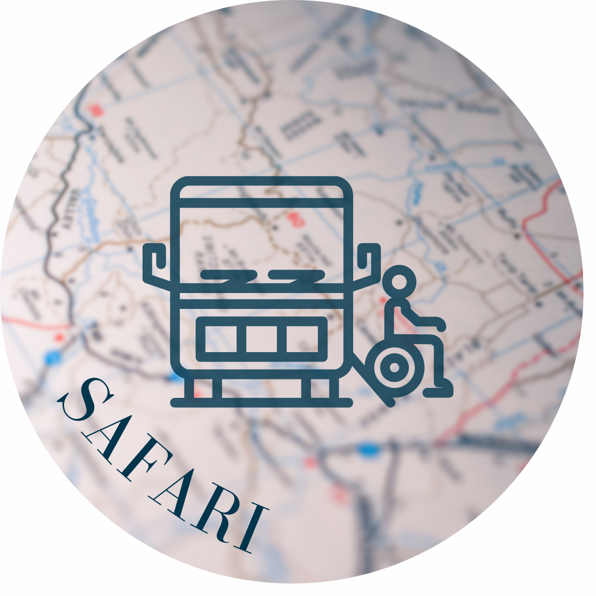
SAFARI
By analysing innovative data sources - and linking these with conventional data - SAFARI identifies barriers to access to sustainable mobility services, particularly for vulnerable groups in rural regions, and develops appropriate solutions for more inclusive provision and use of these services.
INNOVATOUR
Bedarfsgerechte touristische Mobilitätsbedarfe durch Dateninnovationen nachhaltig lenken
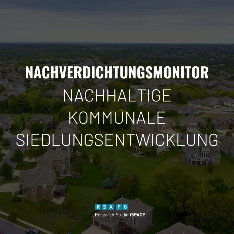
Nachverdichtungsmonitor
Demonstrator Nachverdichtungsmonitor Forscher: Wolfgang Spitzer / Thomas Prinz Studio: iSPACE Smart Settlement Systems Kompetenzen: Geoinformatik Download Paper Wer zukunftsfähige [...]

BONANZA – BONus Adapting to Sustainable Future Issues
Austria continues to consume too much land. For this very reason, inner development and redensification are becoming increasingly important for future housing creation.

LösungsWege
LösungsWege develops and implements innovative planning tools (based on national standards) for municipalities and regions that make it possible to measure local mobility patterns [...]
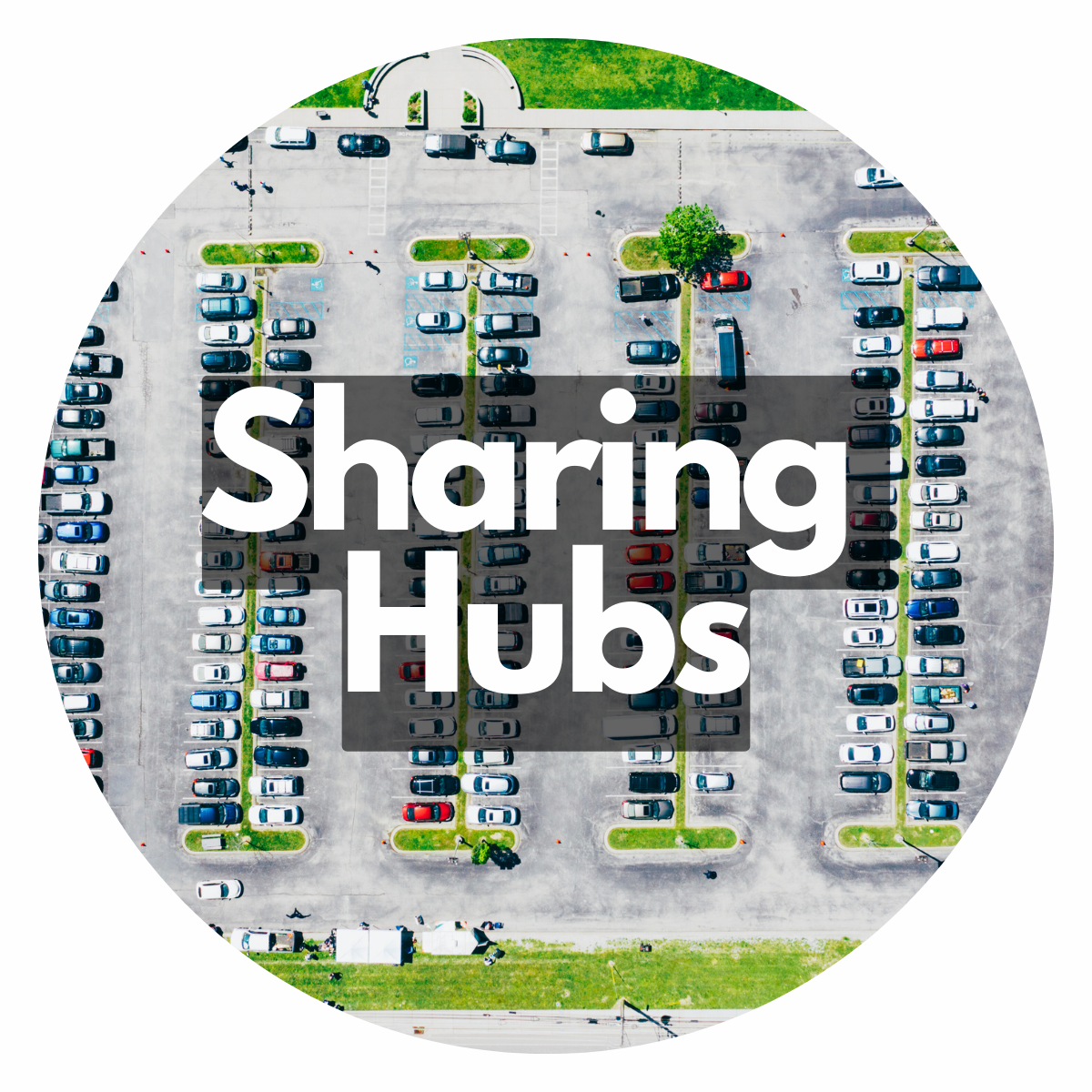
Sharing Hubs
The Sharing Hubs project aims to improve mobility in residential and commercial areas through the introduction of sharing hubs. These hubs combine vehicle sharing with the multiple utilisation of parking spaces and bundle traffic areas. The focus is on reducing motorised private transport in order to create climate-resilient urban spaces.
Interreg PANORAMA
PANORAMA: PlANung von umweltschOnenden und landschaftlich gerechten eRneuerbAren energiegeMeinschAften
ActNow
The goal of ActNow is to make the potential of active and sustainable mobility tangible for the individual, for companies, as well as for communities and planning. Through the possibilities offered by ICT the areas of commuting mobility accompanying routes for children, health promotion and environmental impact are to be brought together in order to make an important contribution to the promotion of active personal mobility.
NEWS FROM THE RESEARCH STUDIO
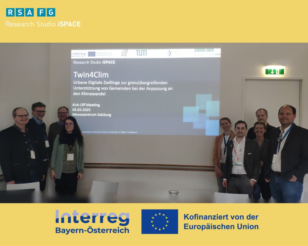
Mit digitalen Zwillingen Gemeinden bei der Klimawandel-Anpassung helfen
The Alpine region, and therefore also the border region between Salzburg and Bavaria, is particularly affected by climate change. The effects are becoming increasingly visible and noticeable due to the increase in extreme weather events such as heat and drought periods, heavy rainfall, hailstorms, forest fires and storms. It is therefore all the more important to proactively take appropriate measures to adapt to climate change and thus reduce the negative effects.
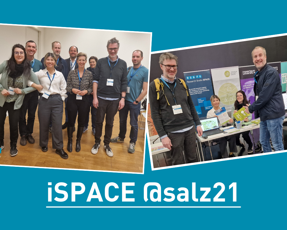
iSPACE-Team gives insight into current research at Salz21
At salz21 | Home of Innovation, the iSPACE team focused on opportunities in the age of digital technologies, data and AI with the specialist workshop “Planning innovations for climate-resilient communities and regions”. The project team from the Center for Alpine Construction also presented its research.
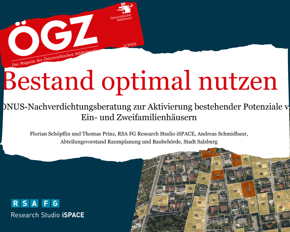
Article on BONUS redensification consulting in ÖGZ
Thomas Prinz and Florian Schöpflin present the BONUS/BONANZA project in the current issue of ÖGZ.