Research Studio
iSPACE Smart
Settlement Systems
We develop indicators and interactive web tools to make planning strategies more transparent and underpin them with figures and maps.
We develop indicators and interactive web tools to make planning strategies more transparent and underpin them with figures and maps.
The Research Studio iSPACE Smart Settlement Systems is working with research and business partners to develop indicators and interactive web tools so that planning strategies can be made more transparent and backed up with figures and maps. This creates a basis for strategy development and action planning to strengthen regional competitiveness and enables sustainable spatial developments to ensure quality of life. Cross-thematic trends and challenges of spatial development, such as climate change or demographic change, are given special consideration.
Due to its connection to the University of Salzburg and other research institutes and companies in this field, the Research Studio iSPACE is an important hub in Salzburg.
APPLICATION AREAS AND BENEFITS
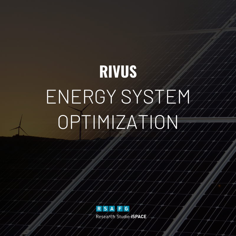
Energy system optimization with RIVUS
Complete recording of the supply system on object and route level - Identification of possible optimal treatment setups under given conditions.

Spatial Energy Planning II
The global energy market is in a state of flux: in order to achieve the European climate targets, far-reaching changes in our consumption and mobility behavior are necessary.
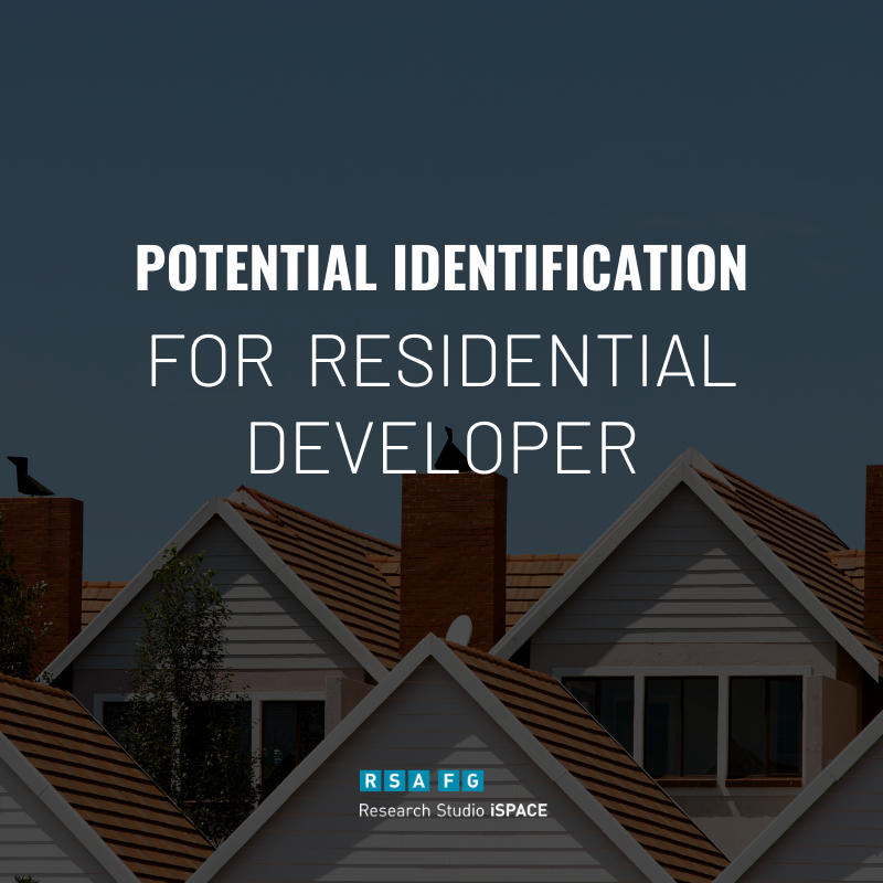
Potential identification
Locate & quantify existing residential land reserves with specific suitability for nonprofit housing Identify potential use overlays for residential development.
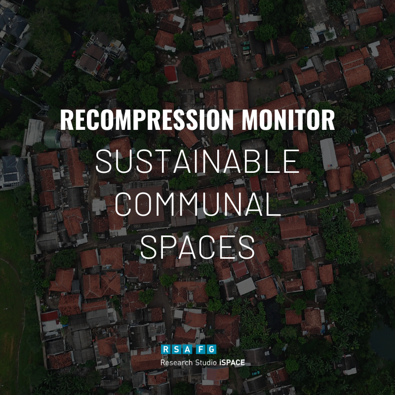
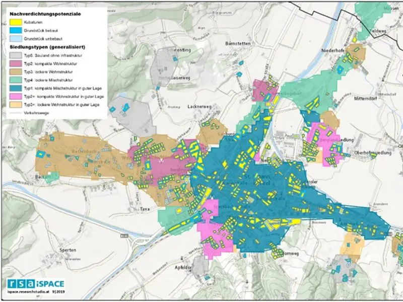
Recompression Monitor
This Demonstrator helps the Measurement of building development in the areas of redensification, building land reserves and restructuring areas.
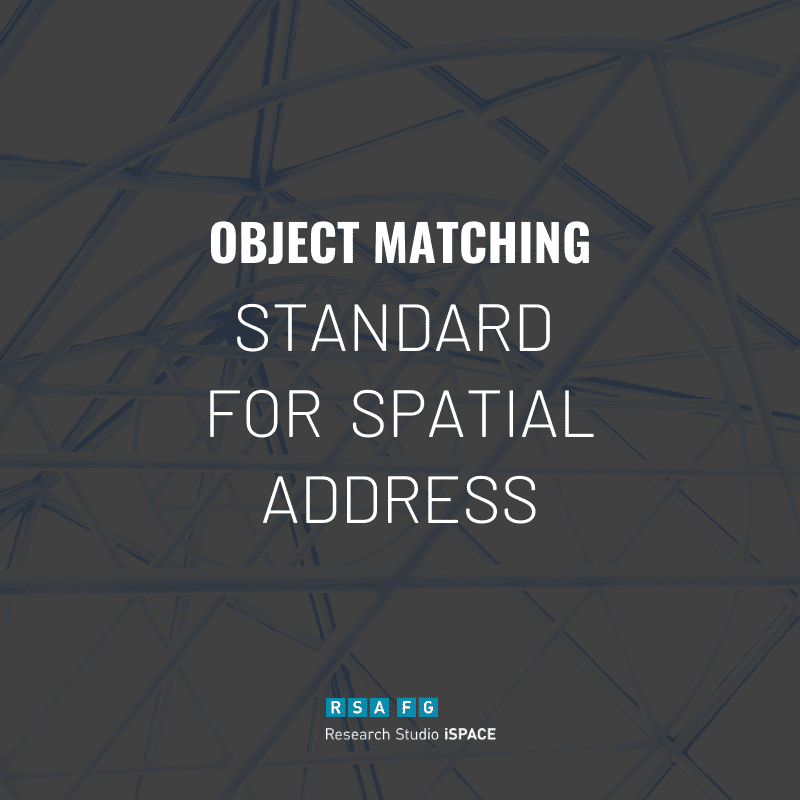
Spatial object matching
Basis for spatial planning (e.g. sustainable energy supply) Flexibly adaptable and expandable tool to incorporate updates and keep further process chains up to date.
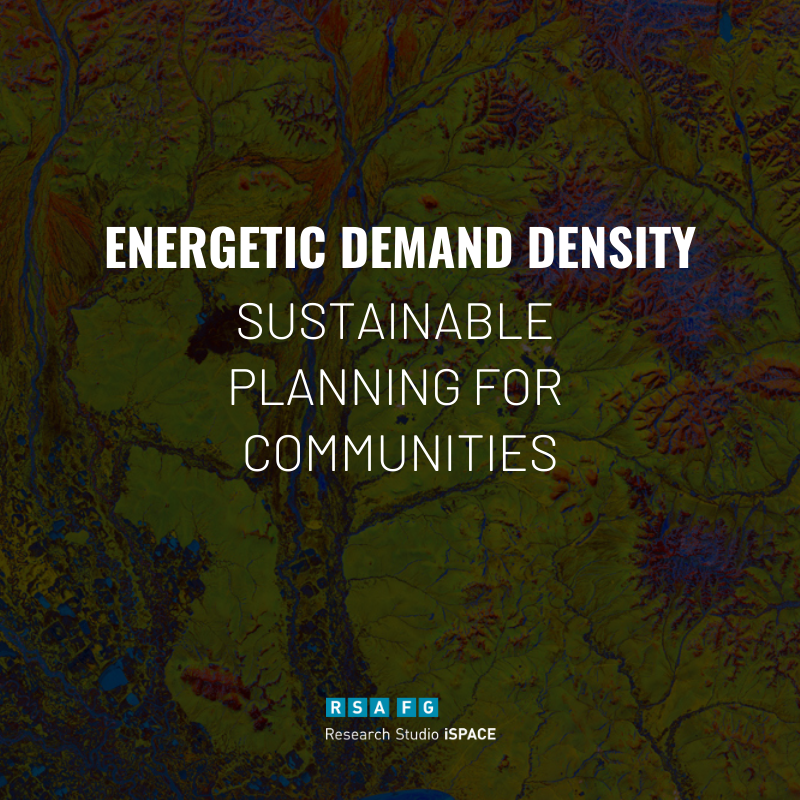
Model Demand density
Area-wide analysis with local as well as supra-regional focus in the area of an energetic demand situation - Basis for any further analysis for a grid-bound supply.
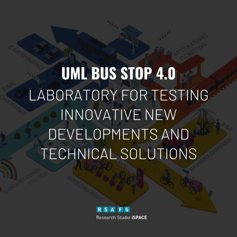
UML Bus Stop 4.0
This Prototype introduces new Testing and evaluation of the functionality, acceptance and transferability of new technical developments with a simplified test requests.
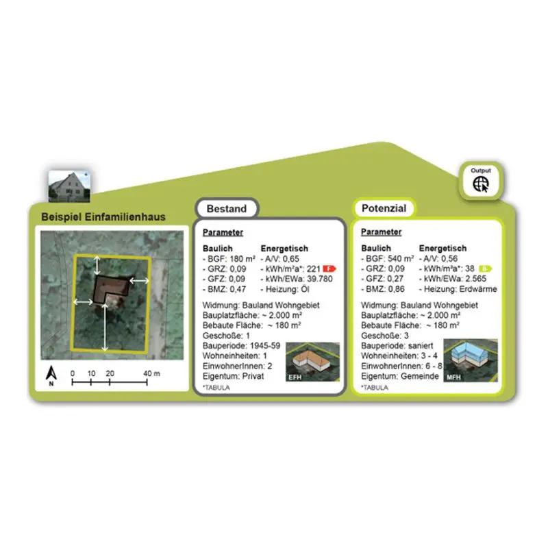
Post Compaction Typology
Locate & quantify existing residential land reserves with specific suitability for nonprofit housing Identify potential use overlays for residential development.
WohnMOBIL Kit
Recommendations for action at several intervention level, which support municipalities and developers in taking appropriate measures for integrated, innovative housing and mobility development.
Spatial Energy Planning
Spatial energy planning, has the potential to become a game-changer and becomes an important lever for the integration of innovative & sustainable heating technologies.
NEWS FROM THE RESEARCH STUDIO
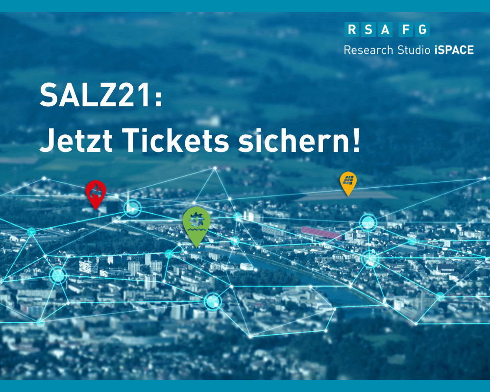
Jetzt anmelden für iSPACE-Workshop zu “klimaresilienten Gemeinden und Regionen”
Home of Innovation – salz21 präsentiert wegweisende Entwicklungen von Mobilität der Zukunft bis hin zu künstlicher Intelligenz. RSA FG iSPACE ist mit einem Workshop zu "Smarte Gemeinden" mit dabei.
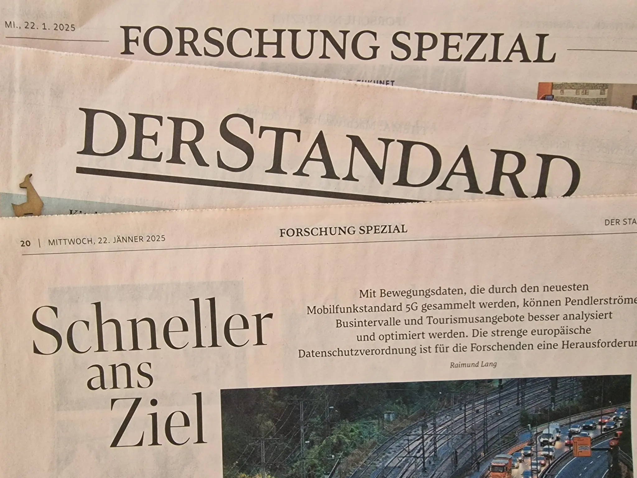
iSPACE-Project 5G-MOBiS featured in DER STANDARD
iSPACE-Researcher Florian Schöpflin and Studio Director Thomas Prinz talked about their project "5G-Mobis" with the Austrian newspaper DER STANDARD. In a special feature about current research projects they showed how data from mobile networks was used in 5G-Mobis.
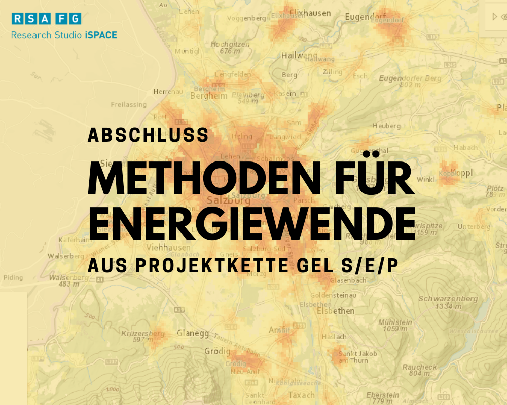
Project chain GEL S/E/P develop methods for energy transition
Over a period of six years, 24 project partners created first a HEAT atlas and then an ENERGY atlas, which is already being used in three Austrian federal states.