Mag. Wolfgang Spitzer

Researcher

Studies of geography and geoinformatics (master thesis: urban sprawl – quantification of a multidimensional concept), since July 2005 staff member of iSPACEforPlanning, main focus: Cartography, Spatial Analysis, Regional Statistics, Spatial Indicators on Settlement Structure and Redensification.

What I am working on

Prototypes & Demonstrators

2021-07-12T14:04:17+02:00

Potential identification

Locate & quantify existing residential land reserves with specific suitability for nonprofit housing Identify potential use overlays for residential development.

2021-05-12T17:02:29+02:00

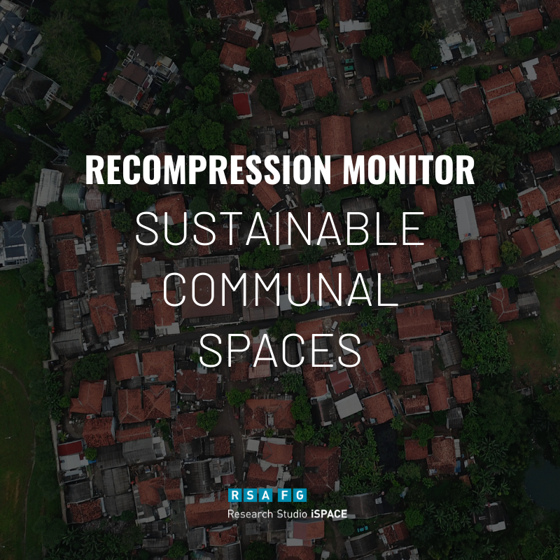
Recompression Monitor

This Demonstrator helps the Measurement of building development in the areas of redensification, building land reserves and restructuring areas.

My Publications

Andorfer, M., Vockner, B., Spitzer, W., Mittlböck, M. (2016)

Spitzer, W., Schulz, W., Keul, A., Prinz, T. (2011)

Raumplanung als Alltagsmanagement für ALLE? Herausforderungen des demographischen Wandels – Werkstattbericht DEMOCHANGE, Wankiewicz, H., Spitzer, W., Prinz, T., Dollinger F. (2010)

Zersiedelung – Quantifizierung eines mehrdimensionalen Begriffs, Magisterarbeit Spitzer W. (2007)