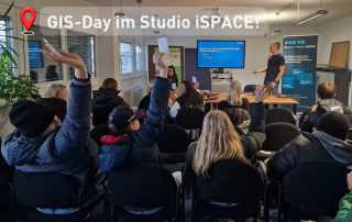
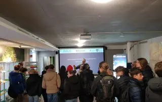
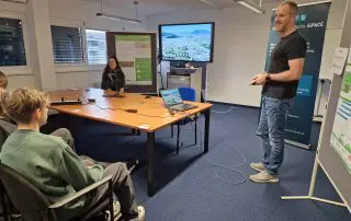
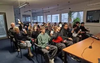
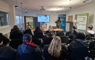
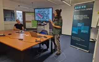
The global GIS Day aims to get young people interested in geoinformatics. Every year, schools also come to Science City Itzling, as the PLUS Department of Geoinformatics Z GIS and the iSPACE studios are several centres of excellence for geoinformatics. PLUS also organises the GIS Day for these two institutions every year. This allows young people to interactively experience various innovative applications from the world of GIS and research. This year, Caroline Atzl and Michael Andorfer from the Smart 4D Environments studio welcomed them to iSPACE and introduced them to the exciting world of geoinformatics.
The two geoinformatics experts invited the students aged between 12 and 15 to actively participate in order to understand where they come into contact with GIS every day. And this goes far beyond Google Maps: the young people learnt about dashboards and where they can be found everywhere, to what extent their mobile phone data can be analysed for traffic planning and how terms such as Industry 4.0 and 4D affect them.
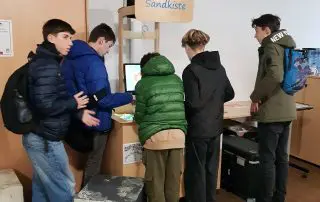
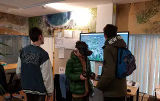
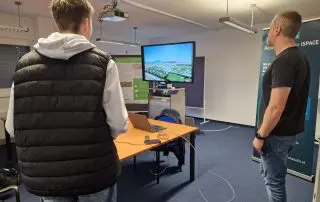
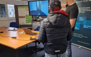
Highlight at the end: Michael Andorfer showed them the world of ‘gamification’, because science can also be used and presented in a playful way. For example, the researchers transferred the ground floor of the Faculty of Natural Sciences into the game Minecraft. Or, with a lot of effort and a lot of data, they depicted the entire state of Salzburg in the VR game engine Unreal. The young people were allowed to ‘fly’ over the city themselves using the controller and try out the various things that were built into the simulation. The biggest challenge: finding their own school.
The school groups took home impressions of the world of geoinformatics, how diverse it is, where it can be found everywhere and, above all, that it can be a lot of fun.


